The Buckeye Lake Trail
Introducing Central Ohio’s Newest Cycling Adventure: The Buckeye Lake Trail (BLT)
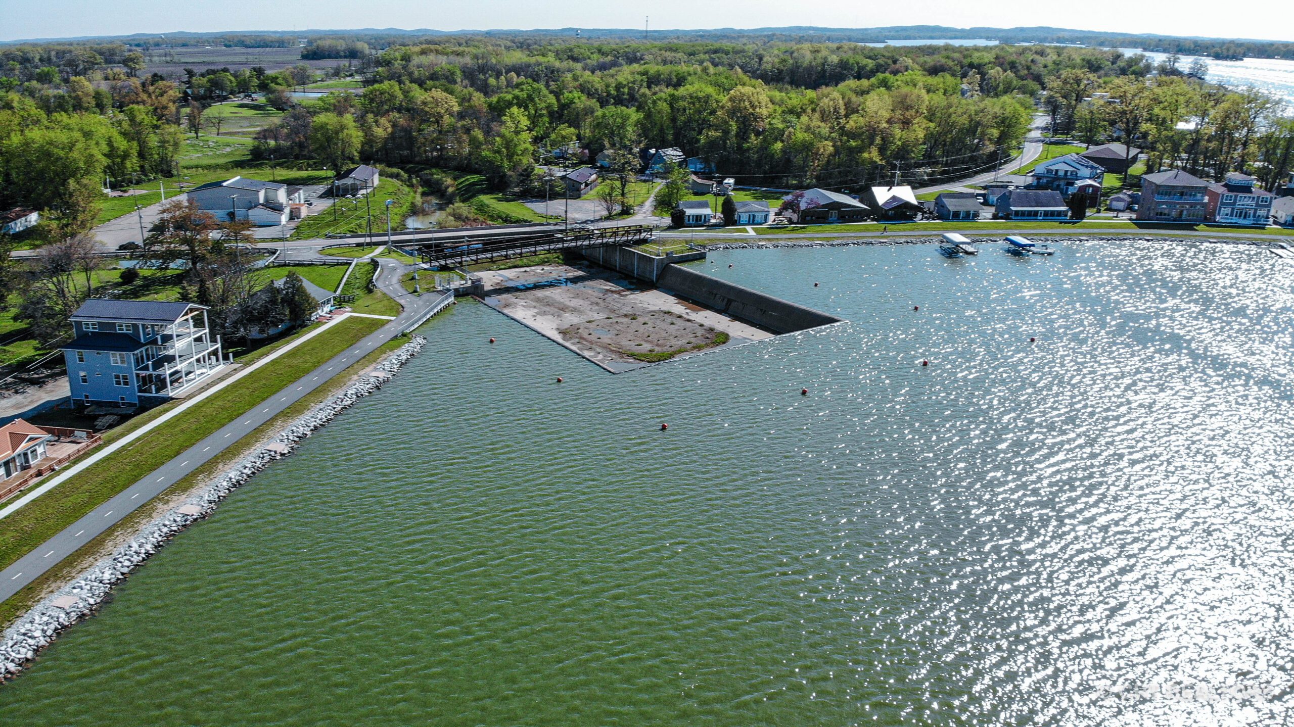
Developed by Bike Buckeye Lake, a volunteer-run 501(c)(3) organization in conjunction with local and state officials, the Buckeye Lake Trail offers a unique blend of multipurpose paths and scenic roadways encircling Buckeye Lake. The trail features two dedicated multipurpose trail sections ideal for riders of all ages and abilities:
- The 4.1-mile Buckeye Lake Dam Trail
- A 1-mile stretch in Fairfield Beach with an additional 1.5 miles of gravel trails
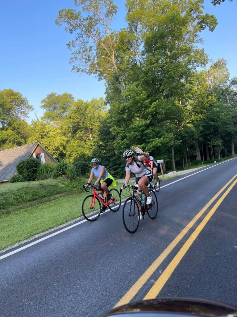
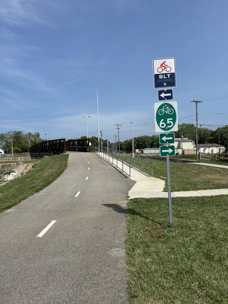
Recently installed road signage marks a significant step towards enhancing road safety for cyclists. Wayfinding and regulatory signs clearly identify the BLT route while reminding both drivers and cyclists of road rules, promoting increased awareness and shared road usage. If you are planning on riding the entire BLT, Bike Buckeye Lake recommends that you ride in a clockwise direction, minimizing road crossings.
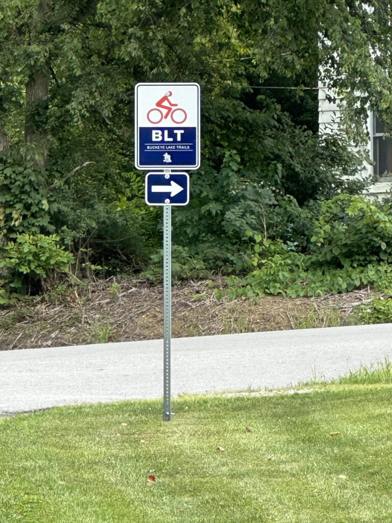
The BLT Experience:
- Includes over 5 miles of scenic views of Buckeye Lake
- Spans three counties: Licking, Fairfield, and Perry
- Traverses four townships: Licking, Thorn, Union, and Walnut
- Passes through two villages: Millersport and Buckeye Lake Village
- Includes the Thornport area
Riders can take advantage of four lakeside parks offering convenient parking and restroom facilities (all marked on the map below).
The road sections of the trail vary in traffic levels. Please refer to the color-coded map below for detailed route information and difficulty levels:
Current Buckeye Lake Trail (BLT) August 2024
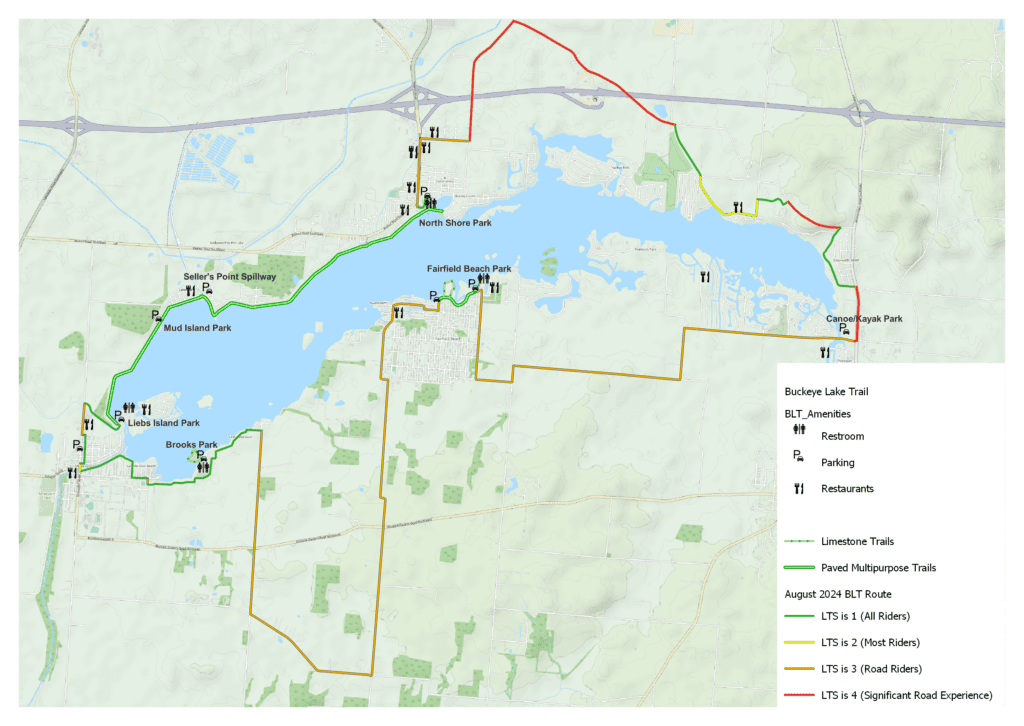
Level of Traffic Stress

| 1 | Suitable for all ages and abilities; children could walk or bike here independently. Separated and/or barrier-protected. |
| 2 | Comfortable for most adults, including most adults experiencing disabilities. Some separation, no barrier. |
| 3 | Tolerable for enthusiastic and/or confident adults. Little space, no separation. |
| 4 | Only used by highly confident people, or those with no alternative. No dedicated space, no separation • Frequent driveways • Unmarked, infrequent crosswalks |
How do we determine LTS?
LTS considers several factors that contribute to discomfort for people outside of vehicles. A roadway with a combination of the following characteristics will have a higher LTS that will need to be addressed by appropriate walking, rolling, and biking facilities:
- High traffic volumes (Annual Average Daily Traffic (AADT))
- High vehicle speeds (measured by posted speed)
- Multiple vehicle travel lanes
- Indirect routes for walking, rolling, and/or biking
There are a lot of great restaurants and convenience stores along the route. Join us in exploring the beauty of the Buckeye Lake region on this dedicated local bike route!
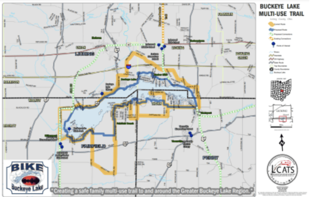
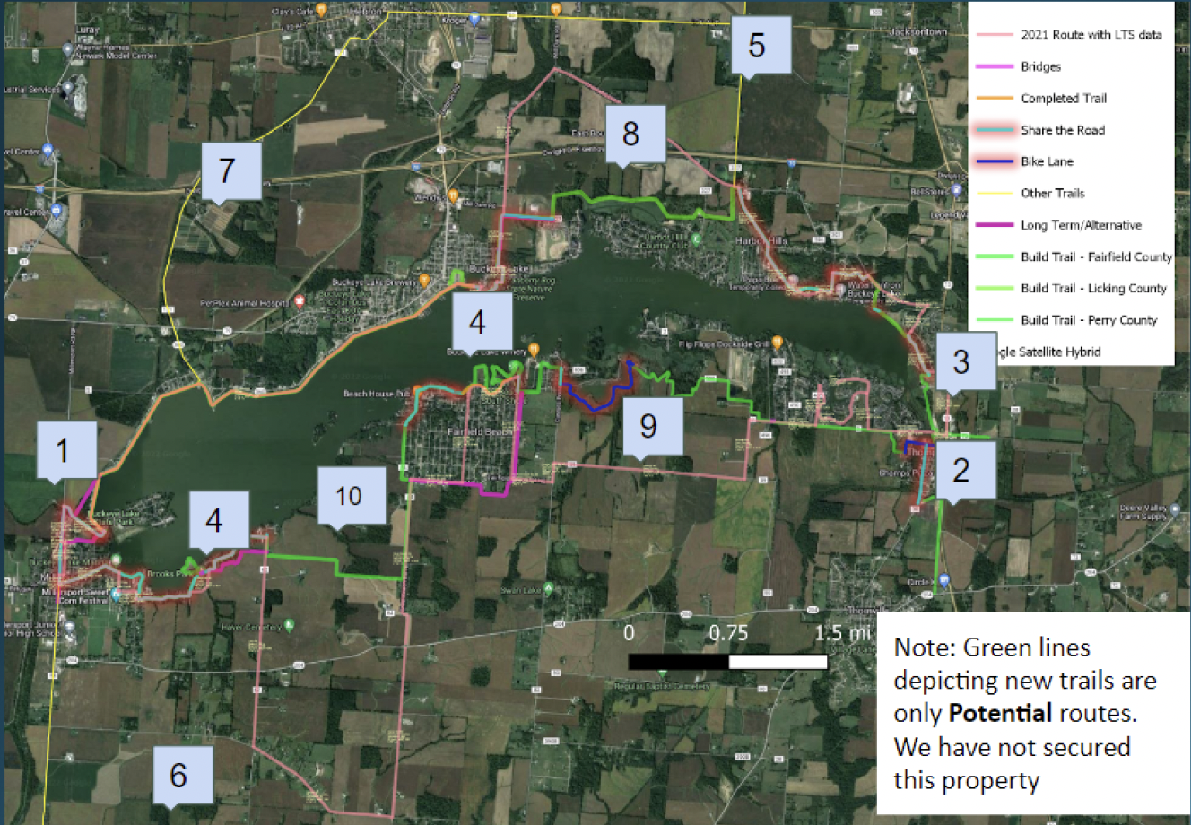
The original trail map
In 2015 BBL’s founders started advocating for the Buckeye Lake Dam trail which was 4.1 Miles long. In 2016 we created the first Buckeye Lake Trail map. At the time, there were zero miles of trail around the lake and our vision consisted of this conceptual map.
Active Trail Projects
Click each number for more information.
